THE EARTH FARER
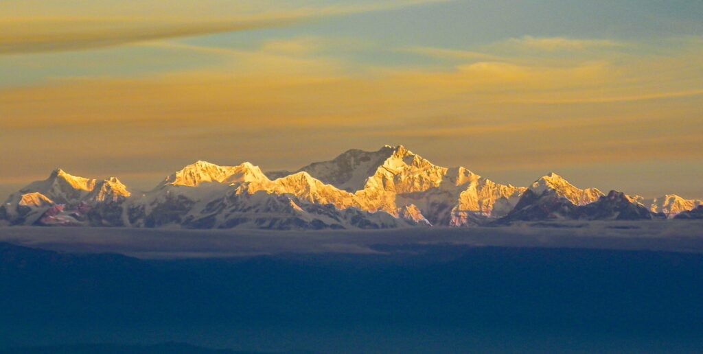
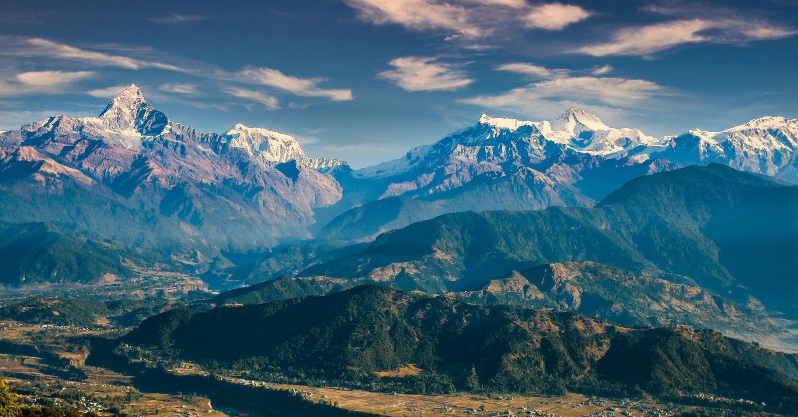
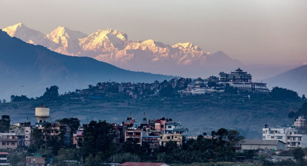
View of the himalayas along the Pokhara Ultra Trail, Nepal
← Discover adventures
Nepal · Trail Running · Extreme

Pokhara Ultra

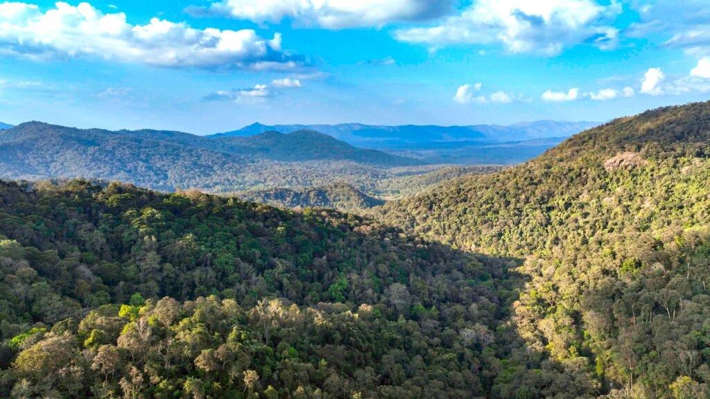
Run through cloud forests, remote mountain villages and steep Himalayan ridges above Pokhara, where sections of the course open onto panoramic views toward Machhapuchhre, Annapurna and Lamjung ranges.

Distance30K / 55K / 100K
Elevation GainUpto +6258 m
TerrainForest / Mountain Trail
Cost💵💵Mid-range
Highest Altitude2935 m

Overview

There are easier ways to see the Annapurnas, but few that feel quite as immersive as the Pokhara Ultra. From the hills above Pokhara, the course disappears into forests, climbs through traditional villages and eventually reaches exposed ridgelines where the landscape opens up in every direction.

The running is rarely straightforward. Long ascents, uneven trails and altitude force a slower rhythm, especially on the longer distances. But that effort is rewarded with glimpses of Machhapuchhre, Annapurna II, Annapurna IV and Lamjung Himal, rising above terraced hills and deep valleys.

Much of the race’s appeal lies away from the obvious mountain viewpoints. The trail passes through places such as Tangting and Sikles, where stone houses, farmland and village paths give the course a character that feels distinctly Nepali.

Pokhara Ultra is demanding, remote and occasionally unforgiving, but that is exactly what makes it memorable. A mountain race where the journey through the landscape matters just as much as the finish.

NEXT TACE DATE – 5 December 2026 | Confirmed

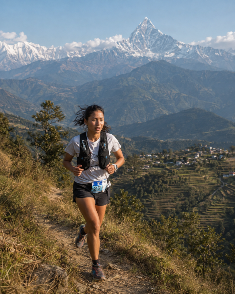
A runner on the pokhara ultra trail, Nepal
Good For

Steep Himalayan routes and remote mountain villages.

Considerations

Major elevation gain, technical trails and cold high-altitude conditions.

Race Categories

Challenging

30K

Course32.55 km, Loop
Elevation Gain+2311 m
Cut-off6 hrs
DifficultyHard
ITRA Points2
Advanced

55K

Course54.51 km, Loop
Elevation Gain+3326 m
Cut-off11 hrs
DifficultyVery Hard
ITRA Points3
Extreme

100K

Course109.08 km, Loop
Elevation Gain+6258 m
Cut-off23 hrs
DifficultyExtreme
ITRA Points5

Race Routes

Getting There

Option 1

By Air

Kathmandu Arrival (KTM)
Flight
Pokhara Arrival (PKR)
Road
Yangjakot Race Location
Option 2

By Road

Kathmandu Arrival (KTM)
Road
Pokhara
Road
Yangjakot Race Location

Before You Go

The elevation figures are far more important than the race names. For example, the 30K averages roughly 71 m of climbing per kilometre, which is extremely substantial for a race of that length. Also runners move from subtropical lower elevations toward almost 3,000 m, so temperature and conditions can change significantly across the course.

Permits & Requirements

Current permits and activity regulations may change. Always verify before booking.