← Discover adventures
Nepal · Trekking · Hard
Manaslu Circuit
Circle Mount Manaslu through deep river gorges and Tibetan-influenced mountain villages before crossing the remote Larkya La pass at more than 5,000 metres and descending toward the Annapurna region.
Overview
The Manaslu Circuit begins in the deep valleys of the Budhi Gandaki and gradually climbs into one of Nepal’s most dramatic high-altitude landscapes. The trail threads through forest, suspension bridges and stone villages before reaching a colder, more austere world of monasteries, yak pastures and snow-covered peaks.
As the route moves through Namrung, Lho and Samagaon, the presence of Manaslu becomes increasingly dominant, rising above the valley in huge walls of rock and ice. The cultural landscape changes too, with Tibetan Buddhist villages, mani walls and monasteries giving the upper valley a distinctly Himalayan character.
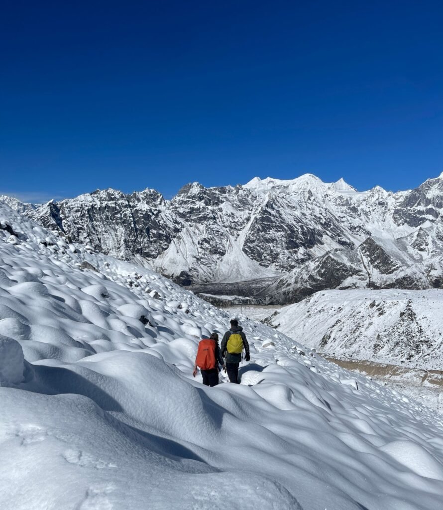
The journey culminates at Larkya La, a high pass at over 5,100 metres, where glaciers and distant mountain ranges stretch across the horizon. From there, the trail drops sharply toward the greener valleys beyond. Remote, varied and constantly changing, the Manaslu Circuit feels less like a single trek and more like a complete crossing of the Himalayas.
Typical Itinerary
Day 1
Kathmandu → Machha Khola
Drive west from Kathmandu and continue into the Budhi Gandaki valley.
Day 2
Machha Khola → Jagat - 22 km
Follow the Budhi Gandaki through narrow gorges, settlements and repeated suspension-bridge crossings.
Day 3
Jagat → Deng - 20 km
Continue deeper into the valley as the surrounding mountains grow steeper.
Day 4
Deng → Namrung - 19 km
Climb through forest toward Namrung as Tibetan Buddhist cultural influences become increasingly noticeable.
Day 5
Namrung → Lho - 10–11 km
A shorter day gives more time to adapt to the altitude. Reach Lho with increasingly close views of Manaslu.
Day 6
Lho → Samagaon - 8–9 km
Continue through Shyala toward the broad upper valley at Samagaon.
Day 7
Samagaon — Acclimatisation
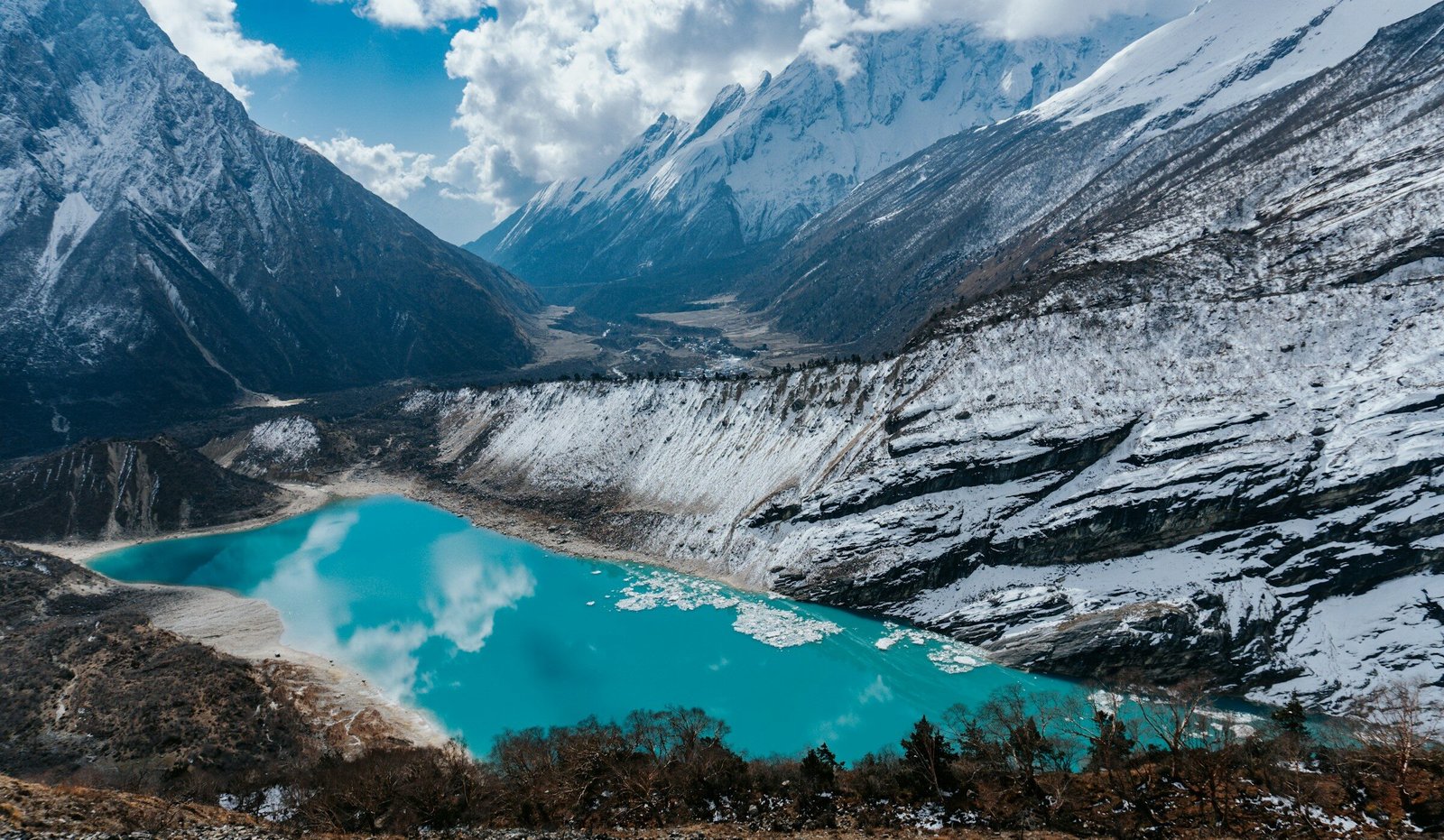
Spend a full day at roughly 3,500 m. Possible acclimatisation hikes - Birendra Lake or, for stronger trekkers, toward Manaslu Base Camp before returning to Samagaon.
Day 8
Samagaon → Samdo - 8 km
A relatively short high-altitude day through increasingly sparse terrain.
Day 9
Samdo — Acclimatisation / Buffer Day
A short hike above the village improves acclimatisation before sleeping at 4,460 m the following night.
Day 10
Samdo → Dharamsala - 10–12 km
Climb toward the final basic lodge below Larkya La.
Day 11
Dharamsala → Larkya La → Bimthang - 25 km
The defining day of the trek. Begin before dawn and climb gradually toward Larkya La at roughly 5,100 m before beginning the very long descent to Bimthang.
Day 12
Bimthang → Tilije
Descend from the alpine valley through increasingly green terrain.
Day 13
Tilije → Dharapani / Besisahar
Complete the trekking section and connect with the road network toward Besisahar.
Day 14
Return to Kathmandu
Allow a full day for the road journey.
Best Time To Go
Jan
Feb
Mar
Apr
May
Jun
Jul
Aug
Sep
Oct
Nov
Dec
Before You Go
Manaslu Circuit is a long and remote high-altitude trek, so allow enough time for acclimatisation before crossing Larkya La. The route enters a restricted area where independent trekking is not permitted, and permits must be arranged through an authorised trekking agency. Carry insurance covering trekking above 5,000 m and emergency evacuation, and expect basic facilities in the upper valley.
What To Bring
- Trekking boots
- Trekking poles
- 30–40 L daypack
- Water bottles
- Headlamp
- Thermal base layers
- Fleece / mid-layer
- Insulated down jacket
- Waterproof shell
- Warm gloves
- Beanie
- Buff
- UV sunglasses
- SPF 50 sunscreen
- Lip balm
- Personal medication
- Power bank
- Warm sleeping bag
- Quick-dry towel
- Cash in Nepali rupees
- Passport & permits
Permits & Requirements
Current permits and trekking regulations may change. Always verify before booking.