← Discover adventures
India · Trekking · Moderate
Sandakphu – Phalut Trek
Walk the high ridges of Singalila National Park through rhododendron forests and mountain villages, with extraordinary views of Everest, Lhotse, Makalu and the Sleeping Buddha formation of Kangchenjunga.
Overview
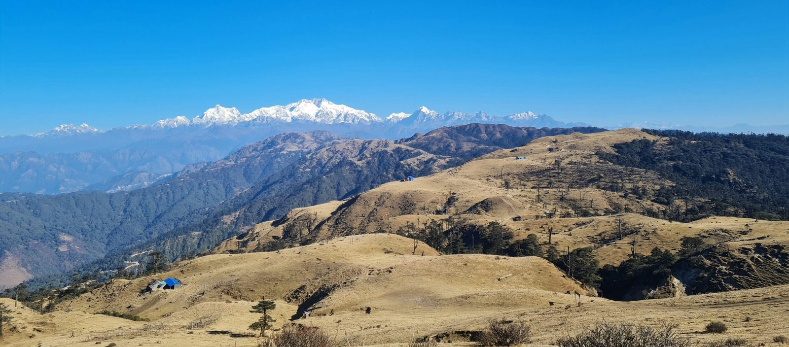
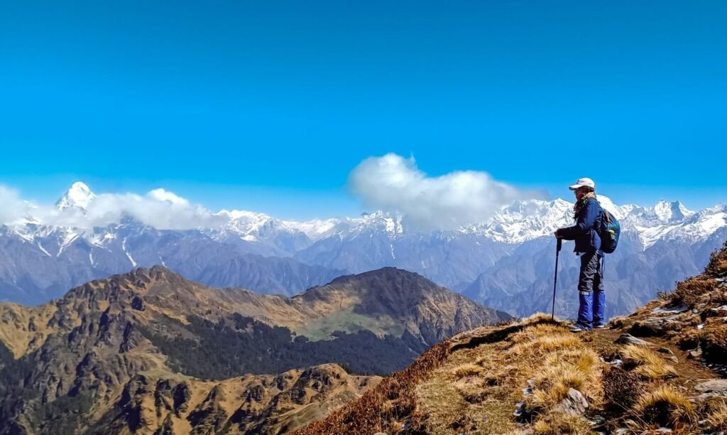
There are few Himalayan trails where the mountains remain with you for quite as long as they do on the Sandakphu–Phalut Trek. The route follows the high Singalila Ridge, slipping between India and Nepal through rhododendron forests, small mountain settlements and long stretches of open ridge.
On a clear morning at Sandakphu, the enormous Kanchenjunga massif forms the celebrated Sleeping Buddha across the eastern skyline, while Everest, Lhotse and Makalu appear far to the west. The trail, then continues towards Phalut along one of the trek’s most beautiful sections—a long, exposed ridge with the Himalayas rarely out of sight.
The Forest, border villages, windswept ridges and some of the grandest Himalayan panoramas in eastern India make Sandakphu–Phalut less about reaching a single summit and more about spending several days walking along the edge of the mountains.
Typical Itinerary
Day 1
Manebhanjan → Tumling - 11 km
Begin with a steep climb toward Chitre before continuing through Meghma toward Tumling.
Day 2
Tumling → Kalipokhri - 13–15 km
Continue along the Singalila Ridge through forest and settlements such as Gairibas. The trail repeatedly runs close to the India–Nepal border.
Day 3
Kalipokhri → Sandakphu - 6–8 km
A relatively short but steeper day brings you to the trek's highest point. Reach Sandakphu at 3,636 m and stay overnight for sunset and sunrise views.
Day 4
Sandakphu → Phalut - 21 km
This is the signature ridge day. Follow the high Singalila Ridge north with the Himalayan skyline visible for much of the journey. This is one of the most spectacular sections of the trek, with the Everest group on one side and Kangchenjunga ahead.
Day 5
Phalut → Gorkhey - 15 km
Leave the open ridge and descend steeply back into forest. Finish in the small mountain village of Gorkhey.
Day 6
Gorkhey → Srikhola + Departure
Continue through forest and villages toward Srikhola before driving out via Rimbik.
Best Time To Go
Jan
Feb
Mar
Apr
May
Jun
Jul
Aug
Sep
Oct
Nov
Dec
Before You Go
Sandakphu–Phalut is not extremely high by Himalayan standards, but the trek still reaches more than 3,600 m and includes several long walking days. Arrive with good basic fitness, carry warm layers for exposed ridge sections and prepare for rapidly changing weather. Snow, rain and strong winds can make otherwise straightforward trails considerably harder.
What To Bring
- Trekking boots
- Trekking poles
- 25–35 L daypack
- Water bottles
- Headlamp
- Thermal base layers
- Fleece / mid-layer
- Down jacket
- Waterproof shell
- Warm gloves
- Beanie
- Buff
- UV sunglasses
- SPF 50 sunscreen
- Lip balm
- Personal medication
- Power bank
- Backpack rain cover
- Quick-dry towel
- ID & permits
Permits & Requirements
Current permits and trekking regulations may change. Always verify before booking.