← Discover adventures
India · Trekking · Hard
Kashmir Great Lakes Trek
Cross the high valleys above Sonamarg through flower-filled meadows and a chain of glacial lakes, climbing three Himalayan passes before descending beneath Mount Harmukh to Naranag.
Overview
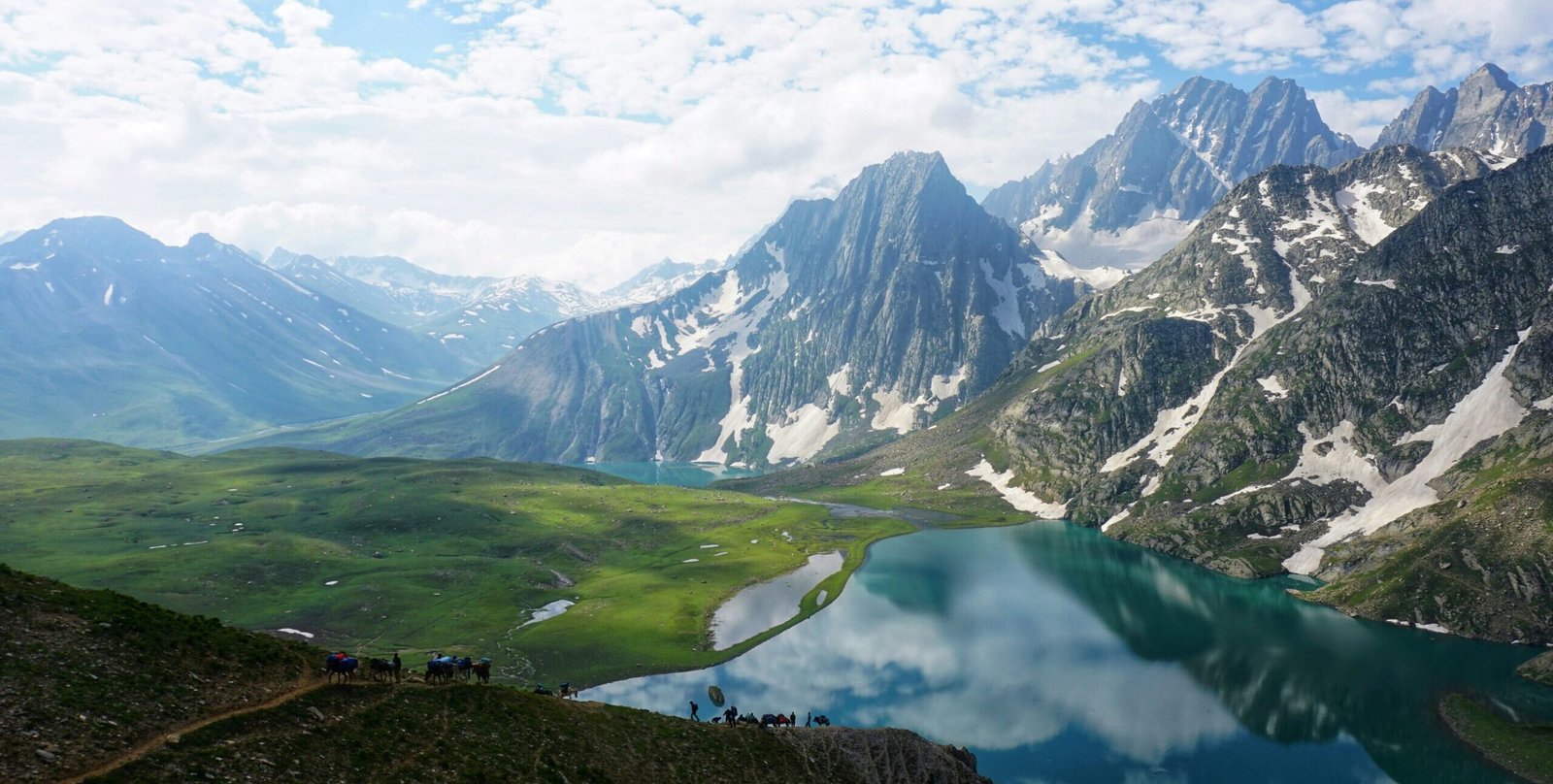
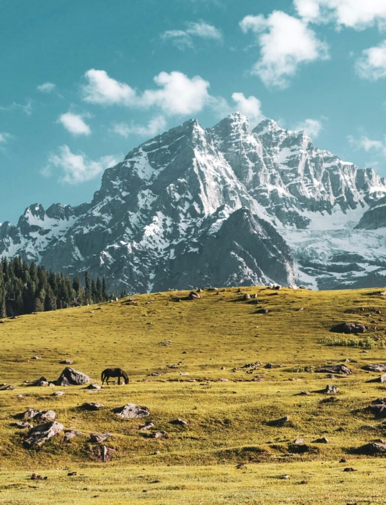
The Kashmir Great Lakes Trek moves through a landscape that feels almost too composed to be real—broad alpine meadows, high passes and a succession of glacial lakes tucked beneath rugged Himalayan ridges. Beginning in the Sonamarg region, the trail climbs quickly away from the road and into open country where each day brings a noticeably different valley.
Much of the trek’s character comes from its lakes. Vishansar, Kishansar, Gadsar, Satsar and the Gangabal–Nundkol pair appear one after another, each set against its own combination of grassland, scree slopes and snow-streaked mountains. Between them lie long climbs over high passes, stream crossings and sweeping traverses through meadows that can be filled with wildflowers in summer.
Rather than walking toward a single summit or base camp, you keep crossing into new valleys, leaving one lake behind and discovering another beyond the next ridge. By the time the trail descends toward Naranag, the journey feels less like a trek between two points and more like a passage through some of Kashmir’s wildest high-altitude country.
Typical Itinerary
Day 1
Shitkadi → Nichnai - 10–12 km
Begin near Shitkadi and climb through forest before entering open alpine terrain around Nichnai. The first day involves substantial altitude gain, so pacing matters.
Day 2
Nichnai → Vishansar via Nichnai Pass - 13 km
Climb gradually toward Nichnai Pass at roughly 4,150 m, then descend into a broad valley toward Vishansar.
Day 3
Vishansar / Kishansar — Acclimatisation or Buffer
Spend time around the twin lakes and allow the body to adjust before the highest pass.
Day 4
Vishansar → Gadsar via Gadsar Pass - 10–16 km Depending on campsite
Climb above Kishansar toward Gadsar Pass at ~4,206 m. From the ridge you get one of the classic views back toward the Vishansar–Kishansar basin before descending into the Gadsar Valley.
Day 5
Gadsar → Satsar - 12 km
A gentler day through open valleys and meadows leads toward the Satsar lake system.
Day 6
Satsar → Gangabal & Nundkol - 11–13 km
Begin with a boulder-heavy section followed by another sustained ridge climb. From the high point, Gangabal and Nundkol appear below with Mount Harmukh rising behind them.
Day 7
Gangabal → Naranag - 11 km
The trek finishes with a long descent through meadows and eventually pine forest toward Naranag. The final descent is steep and can be surprisingly hard on the knees.
Best Time To Go
Jan
Feb
Mar
Apr
May
Jun
Jul
Aug
Sep
Oct
Nov
Dec
Before You Go
Access, security requirements, trekking permissions and route conditions can change at short notice. Always confirm the current status before booking non-refundable travel.
What To Bring
- Waterproof trekking boots
- Trekking poles
- 30–40 L daypack
- Water bottles
- Headlamp
- Thermal base layers
- Fleece / mid-layer
- Insulated down jacket
- Waterproof shell
- Rain pants
- Warm gloves
- Beanie
- UV sunglasses
- SPF 50 sunscreen
- Lip balm
- Personal medication
- Power bank
- Sleeping bag
- Quick-dry towel
- Original ID & permits
Permits & Requirements
Current permits and trekking regulations may change. Always verify before booking.