← Discover adventures
Sri Lanka · Trekking · Hard
Knuckles Mountain Range Trek
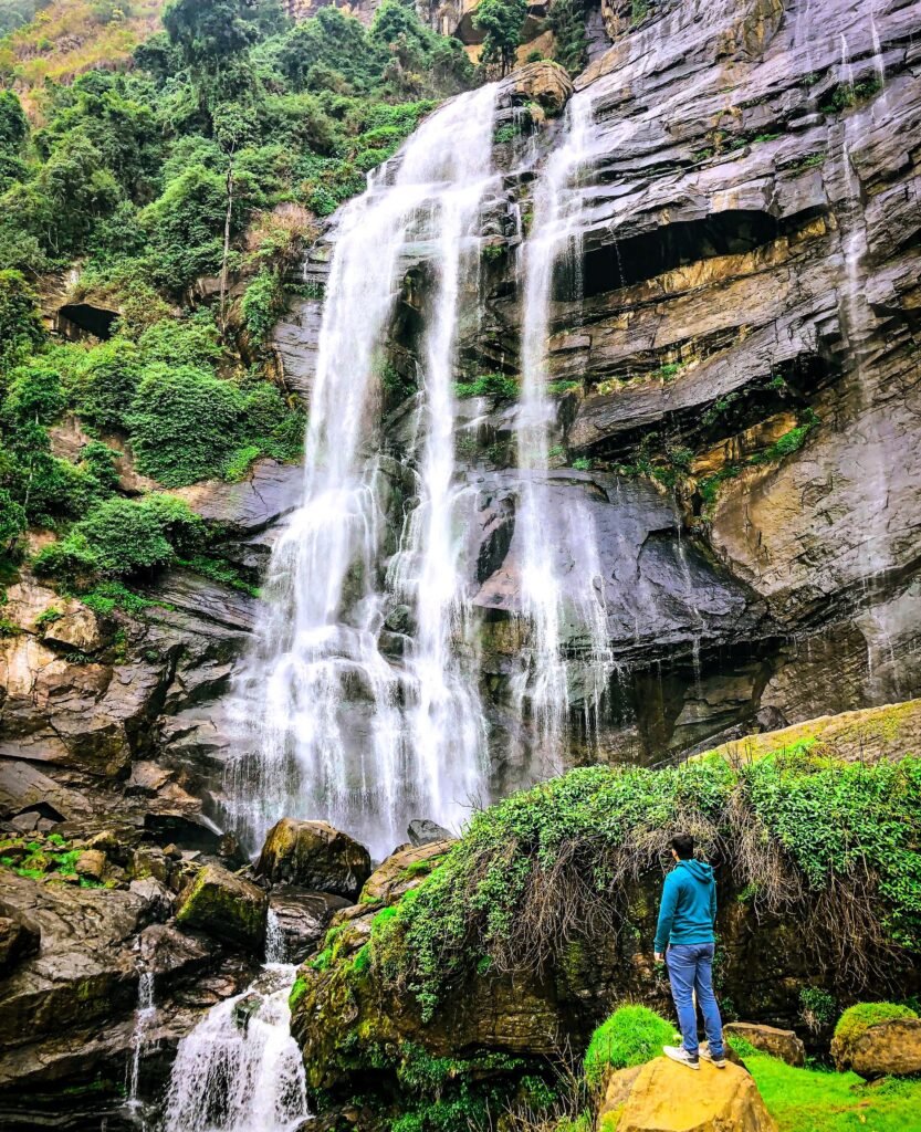
Trek through Sri Lanka's mist-covered Knuckles Range, moving between cloud forest, grassland, waterfalls and remote mountain villages in one of the island's richest biodiversity landscapes.
Overview
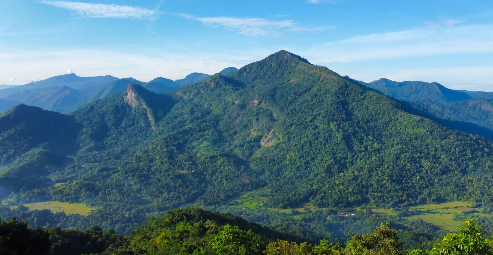
The Knuckles Mountain Range feels far removed from the tropical image most travellers have of Sri Lanka. East of Kandy, the road gives way to mist-covered ridges, dense forest and small mountain villages, with trails disappearing into one of the island’s wildest highland landscapes.
Paths climb from cultivated valleys into cloud forest, cross streams and grasslands, and emerge onto exposed ridges where layers of green mountains fade into the distance. Around Corbett’s Gap, the range opens dramatically, while routes toward villages such as Thangappuwa lead back beneath the forest canopy and into quieter, more inhabited valleys.
There is no single landmark that defines the Knuckles. Its appeal lies in moving through the landscape itself—the mist, forest trails, waterfalls, remote settlements and ridgelines that seem to fold endlessly into one another.
Typical Itinerary
Day 1
Kandy → Udadumbara → Corbett's Gap Area
Drive from Kandy toward the eastern side of the mountain range. Begin trekking through village landscapes and increasingly dense forest, climbing into the mountains toward the Corbett's Gap area. Spend the first night at a forest or mountain camp.
Day 2
Corbett's Gap → Thangappuwa
Continue through forest and descend toward Thangappuwa, moving between mountain vegetation, streams and more settled landscapes. Stay in a basic camp or village-based accommodation.
Day 3
Knuckles Summit Ridge → Kandy
Begin early for the main summit/ridge hike. Climb through forest before reaching more exposed high ground with views across the surrounding massif. Descend through the forest and return toward Kandy in the afternoon.
Other Trails in Knuckles
Type of trek
Five Peaks
Classic summit/ridge hike
Dothalugala
Forest nature trail & viewpoint
Mini World's End
Short panoramic walk
Manigala
Grassland ridge and broad views
Nitro Cave
Forest / cave trek
Duwili Ella
Longer wilderness waterfall trek
Meemure
Village, forest and waterfall hiking
Best Time To Go
Jan
Feb
Mar
Apr
May
Jun
Jul
Aug
Sep
Oct
Nov
Dec
Before You Go
Knuckles is relatively low in altitude, but it should not be underestimated. Dense forest, sudden mist, heavy rainfall and poorly defined trails can make navigation difficult, while river levels can change quickly after rain. Use a knowledgeable local guide for longer routes and verify current Forest Department access requirements before entering the conservation forest.
What To Bring
- Hiking shoes with grip
- Trekking poles
- 20–30 L daypack
- Water bottles
- Headlamp
- Quick-dry clothing
- Lightweight fleece
- Waterproof jacket
- Rain pants
- Leech socks
- Insect repellent
- Hat
- Sunscreen
- Personal medication
- First-aid kit
- Power bank
- Dry bags
- ID / permits
Permits & Requirements
Current permits and trekking regulations may change. Always verify before booking.